
I can’t stop amazing about what Google can do with data. If you like switching to terrain view in Google Maps to look to the actual appearance of places, then you have to visit Google Earth Studio
A short promotional video is shown at the home page and the first time I saw it I thought: This can’t be real. I immediately pressed the “Try Earth Studio” button and… and nothing: you need to register and explain your reasons to try the product. I did it, but honestly I thought I would never receive their approval.
I was entirely wrong. Today I received a link to try the product, and I have to say it is amazing.
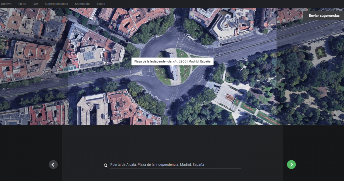
It was a matter of minutes to make a video showing “La Puerta de Alcalá” in Madrid (where I live) from the air like being filmed by a camera drone.
The video is very simple, but what I needed to produce it was even simpler.
The only thing I didn’t like was that the platform doesn’t produce a video ready to be downloaded, but all the video frames (jpeg format) compressed in a zip file and you have to compose the video with them.
Well, if you use default options (30 fps) and you want to produce an H264 video all you have to do is:
- Unzip the file containing the frames
- Access the footage folder
- Execute ffmpeg specifying these options
ffmpeg -i "videoname_%03d.jpeg" -c:v libx264 -vf fps=30 -pix_fmt yuv420p out.mp4
Of course, you’ll have to replace videoname with the prefix name of your jpeg files.